Friday, June 20, 2014

Inventorying Shelburne's Trees


This past week the LANDS crew has been busy finishing up some last bits of work on Pease and completing a new project, inventorying the trees of Shelburne.

The week began similar to how the previous one ended with the crew spread out across Pease Mountain. One last time we made an attempt to mark the boundaries, this time only with flagging. Groups were able to find the corners with relative ease but we still encountered difficulties finding old blazes whilst attempting to follow the bearings on the maps we had available. After a long day bushwacking along the boundaries, we stopped at a local shop in Charlotte for smoothies and creemees.

        Creemees and Smoothies in Charlotte


                               Goodbye Pease

For the remainder of the week we worked with Elise Schadler and her intern Leslie Hendricks completing an inventory of the public trees in the town of Shelburne. We split into four teams (Maple, Oak, Ash and Beech) based on the names of the iPads we  used to collect data. After one day we had a fairly significant chunk of the town inventoried but, in an attempt to push to get as much done as possible, we made use of some of our smartphones along with the collector app to have more ways to collect data than just the iPads. With this infusion of technology to our already strong array we were able to complete almost the entire village including Shelburne beach! We found a variety of tree species and sizes within the ROW or right of way of the villages roadways including Maples, Ash, Oaks, Elms, Spruce and various others which ranged in size from over 42" diameter of the oldest Silver Maples found to less than three inches for many of the newly planted saplings. Overall it was a wonderful project with wonderful weather that accompanied us throughout and as we finish writing the report today we are excited looking forward to our presentation to the select board of Shelburne next month and of course the next projects that awaits us!

See you next week,
The LANDS Crew                                                                       Written By: Travis Hart


Tree ID Before Shelburne Inventory

Friday, June 13, 2014

Some more lovely week two photos


Brainstorming in the room with a view!


Mapping in the 'backcountry'
Add caption


Goal Setting 101
The Dustin 'look up' is getting pretty viral across Burlington


Counting Trees on Pease

getting into the swing of re-blazing
By Katherine Brainard

     What an exciting and productive second week of LANDS it has been. With our first week of training under our belts, I think it's safe to say we were ready to be out in the field. At Pease Mountain in Charlotte, Vermont, we conducted inventories of the natural communities that compose UVM's Natural Area on the mountain. We also started re-blazing and putting up signage alongside the property boundaries, a task that had not been completed for decades. Both groups had some issues with identifying the previous blazes, for which the 1998 ice storm could be to blame as many mature trees in parts of the area were felled as a result of the extreme weather event.


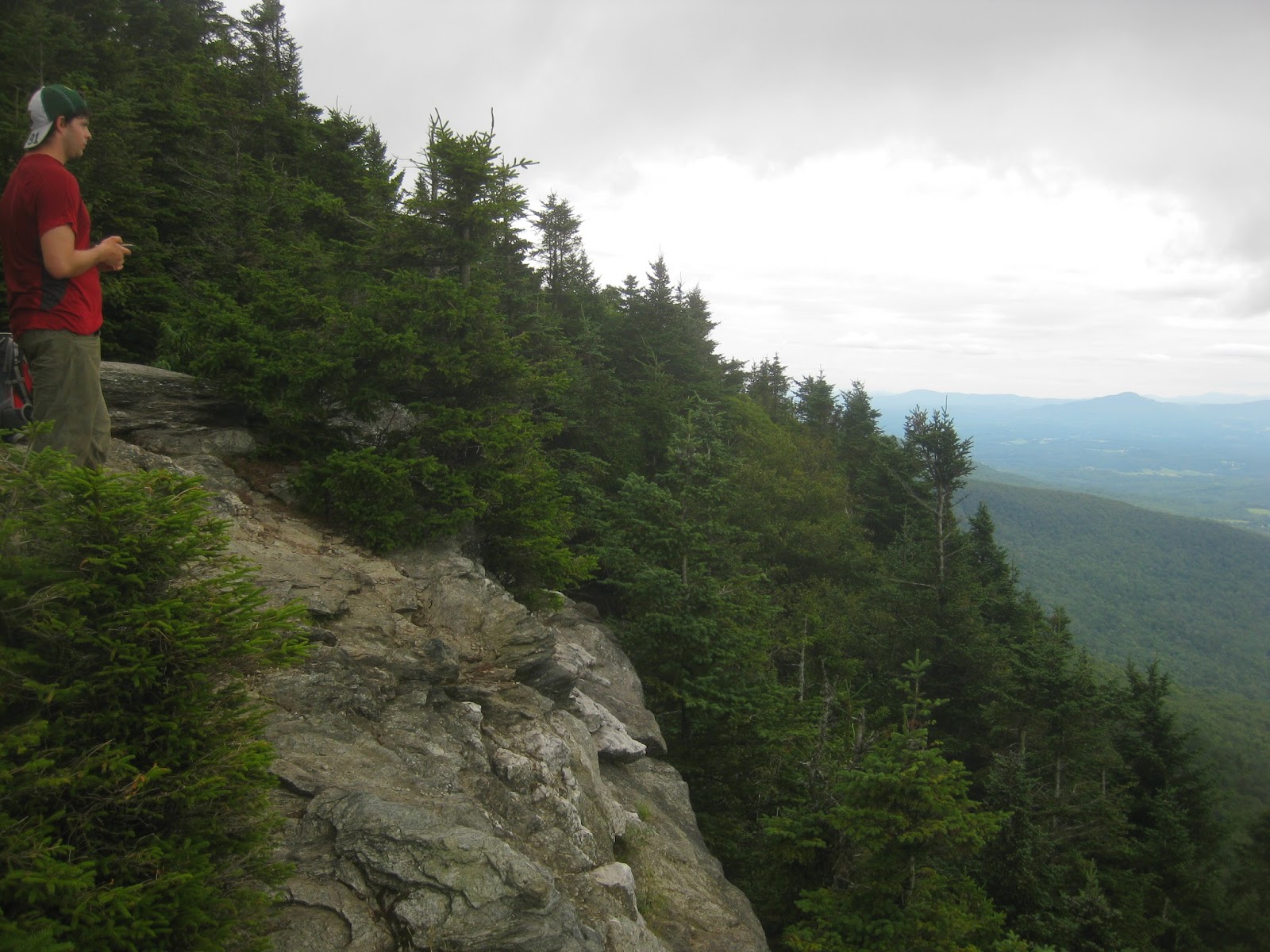
Mount Philo View from Pease
      It was fun to divide up the tasks as well as gain experience navigating using both GPS units and compasses. As we were bushwhacking off-trail for the majority of the tasks, it was critical that we understood our bearings and could find our location on the map at any point. The weather was not the most pleasant, with a chilly rain descending upon us for much of the week, but spirits were high nonetheless. Arriving back on campus soaking wet and smiling, we felt as hardcore as we looked.


     Today, Friday the 13th, the group is in the computer lab taking a reprieve from the elements and working on individual and collaborative tasks such as report writing, loading GPS waypoints, cleaning the van and organizing gear, writing thank you notes to our partners, and blogging about our experience. Looking forward to beautiful weather over the weekend, the interns are planning to get together to support our resident musician, Lincoln, and his band Squimley and the Woolens, check out the Burlington Farmer's Market, and hopefully do some exploring around the area.


Summit View
Until next week,
The LANDS Crew


embracing Vermont's unpredictable weather


Charlotte's Web

Finally out of the rain

Thursday, June 12, 2014

The One Where It Began


This, the official week before the World Cup starts also importantly marks our coming together as the LANDSPEOPLE.

                  We are:

 Lincoln, a spiffy bearded drummer from upstate New York!

Courtney, a lover of soils enjoying her first time in these Northern Parts from North Carolina

Nate, a former dj on a Scottish radio station from Alabama

Dustin, a bear wrestling (LNT) carpentry expert from Vermont

Ben, a barefoot walking existential biologist from Alaska

Katherine, a competitive scrabble player and intrepid leader of UVM's outing club from Pennsylvania

Jessa, a professional porch horticulturalist from Connecticut

Travis, a pick up truck driving bat enthusiast from Vermont

Gabo, a deep thinking GIS master from Peru

We are led by a wonderful team consisting of:

Emily, a wilderness metal detector, basically the Magneto of environmental consultancy

Laura, a hexacontinental discus performance artist, she is known in some circles as the Axl Rose of floral ID

and of course, the laudable master of these lands, Deane Wang

It begins, not with a whimper, but a bang.


It was daybreak. We all strode or rode over to the University of Vermont's Aiken Center for our first week of training, brimming with expectation and excitement at the chance to meet new people and discover new environments. Little did we know what would befall us. Creeping around the staircases of the building we slowly found eachother all in stages of confusion and terror as our meeting location had changed to a new room in the basement. As we sat down, a projector was lit. To our horror three figures moved out from behind the desk resting oddly on the far side of the room. They were Deane, Laura and Emily. As they appeared they began to speak, first one, and then another. We sat quivering in our seats listening to our doom being discussed aloud. After the gruesome introduction to what we believed to be the lands program, we were ordered to move outside. The bright light shrunk our pupils. The air felt grating, like sand drying inside of a runner's shorts at a beach 5k. 
          Laura spoke first. "Lets play a game..."

And we did. All kinds of fun team building games! Throughout the week we continued to 'teambuild' as well as learn more about our roles as LANDSPEOPLE. We got to hang out on the green roof of the Aiken Center, lunch together on a sunny lawn and practice our new found skills in Centennial Woods, along the Champlain thrust fault at Lone Rock, and near Camel's Hump on the Long Trail with some really gnarly specialists. These included Liz Thompson who (literally) wrote the book on Natural Communities in Vermont, Bill Gill, Master of UVM's map room, and Steve Libby from the Vermont River Conservancy! We also camped together at the Jericho Research Forest where we made pizzas (of all flavors!) together during a thunderstorm that turned off our power for a few hours. 

We are all well excited for the upcoming weeks together as surveyors, stewards, and consultants. 

Mon the Summer!


                           Love,

      Nate and #LANDS2014


Friday, August 2, 2013

So Long and Thanks for All the Ticks

By Juliane Menezes and Sylvia Kinosian

Bianca, we'll miss you!
The time has come for the LANDS "CR00" to say goodbye - LANDS program 2013 is now 100% complete!  The 9th week was all about finishing general tasks, editing and wrapping up all the reports, organizing gear, and making Bianca shine!  The STP reports were getting finished up with maps, photos and final formatting. On Wednesday evening, we threw a barbecue parteeeyyy at Red Rocks Park.  Swimming, kayaking, playing volleyball and frisbee, and eating burgers/ veggie burgers was what we needed to continue the rest of our last busy week. 


We spent Thursday preparing for and giving our final presentation. We created a powerpoint did a practice run through of the presentation early in the afternoon to get ready for the final evening. We were a little nervous to present to an audience, but our practice payed off and we rocked it! Our audience really seemed to enjoy the show - and so did we! Reflecting on our hard work over the summer was very rewarding. We all have a lot to be proud of! 

Friday was all about finalizing our experience, giving thanks and saying goodbyes for a few of us. Jacob is going back to the famous Central Michigan University; Liz back to NY; Julie to Madison, Wisconson and Maria is going back to Brazil. Have a nice trip Maria! We hope that LANDS internship had closed your year in U.S with a “golden key.” Now, LANDS, you deserve some vacation! Enjoy the rest of the summer before classes start again. Ride your bikes, go swimming, get some rest, and HAVE FUN! 

"Pease" Out!

Gomo Town Forest Johnson, VT


Kristian Moore
Michael Storace
This week Michael Storace and Kristian Moore hit the road early for Johnson Vermont. Meeting our small team project (STP) sponsor, Lois Frey and the Johnson Conservation Commission at the Municipal building in the village of Johnson. After getting a quick rundown of Gomo Town Forest's natural and cultural history we followed Eric Nuse, the previous county game warden and walking encyclopedia, up the treacherous Codding Hollow Road and into Gomo Town Forest.
Gomo Town Forest is a 141 acre parcel of land located in the northwestern corner of Johnson, VT. It is bordered by the north and south by Vermont State land and borders the town of Waterville to the west.  Bisecting Gomo Town Forest is Codding Hollow Road, a class four road no longer maintained by the town or passable by street vehicles. ATV traffic is the only traffic that uses this road, and unfortunately has begun to radiate off the road and into surrounding fields and forest. 
There is another trail that winds it's way through the southern section of the property, and a logging path that follows the eastern border north to the border of VT state land and Gomo Town Forest. 
Our main objective for this project was to map all trails and their condition, map the location of cultural artifacts, and connect the Gomo property to the Long Trail, all while finding the best way to increase the number of visitors to this unique piece of land and the beautiful ridge line trail to Laraway Mountain (above photo).
Old Doodlebug truck, the last vehicle to regularly make the trip up Codding Hollow Road and to the Gomo Farm.  


Kristian and Mike enjoying the view from Laraway Lookout. 
We followed old logging roads and bushwhacked our way to the Long Trail from Gomo Town Forest. At the Laraway lookout two of Kristian's friends from high school appeared. They were on day 21 of their South - North through hike of the LT. After a nice unexpected visit we continued our hike to Codding Hollow Road and completed the 5 mile loop trail we proposed to the Johnson Conservation Commission.  


LaPlatte River Marsh: Invasives Nightmare!

By Juliane Menezes and Sylvia Kinosian

Our favorite natural area


Julie and Sylvia went to Shelburne Bay, only a few minutes south of Burlington, to start working in the LaPlatte River Marsh Natural Area. Mollie Klepack, who works with The Nature Conservancy (TNC), showed us around the area and told us about a few projects that have previously been done in the area to remove the invasives. In a few weeks, a large scale invasvies removal effort will begin, implemented by Restart Forestry. This private consulting company has been hired by TNC and funded by a special grant to do some much needed removal of the invasive infestation. Our project was unique among the other STPs in that TNC asked to create our own monitoring protocol for invasive species monitoring. We decided to use a random plot sampling method to estimate the percent cover of the invasives present; the centers of each one of our 20 plots were marked with GPS waypoints as well as rebar stakes so finding them again will be very easy to find during future monitoring efforts.

Simplicity and ease of use was one of our top priories when creating our monitoring protocol because it will be used by TNC interns and volunteers to collect data after the removal effort; future data will be compared to the baseline data that we collected and used to measure the effectiveness of the chemical and mechanical procedures used on the invasives.
A most beautiful of maps. Oh ArcGIS, how we will miss you.
Over the 8 weeks working with LANDS, we have never seen a place dominated by invasive species like this section of the LaPlatte! We spent most of our time in the field bushwhacking a dense population of honeysuckles and dogwoods. We were basically swimming in a sea of honeysuckle! Hopefully the removal effort be a a success and someday soon the LaPlatte Rive Marsh will be a lovely, invasive free natural area for all to enjoy.

Honeysuckle ocean
In addition to our field work, we had the company of Joshua Brown: writer, photographer, and professor at UVM. He decided to include us, LANDS, in his article for the UVM website. Now we can say that we are Forestry superstars! 
"Hmm, indeed, this Lonicera sp. had got to go" - Sylvia and Julie, Stars of Forestry
Photo Credit: Joshua Brown